
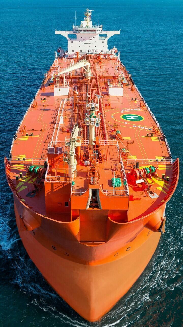
The zones
The United Nations Convention on the Law of the Sea divides the ocean into zones, each with its own balance of coastal state rights and freedoms of navigation. Understanding them explains a great deal about why ships can do certain things in certain places and not in others.
Distances are measured in nautical miles from baselines, normally the low-water line along the coast, with special rules for bays, archipelagos and irregular coastlines.
| Zone | Extent from baselines | Coastal state rights | Navigation |
|---|---|---|---|
| Internal waters | Landward of the baseline | Full sovereignty | No right of innocent passage (with narrow exceptions) |
| Territorial sea | Up to 12 nm | Sovereignty, subject to innocent passage | Right of innocent passage |
| Contiguous zone | Up to 24 nm | Control over customs, fiscal, immigration, sanitary matters | Free, subject to that control |
| Exclusive Economic Zone (EEZ) | Up to 200 nm | Sovereign rights over resources; jurisdiction over installations, marine science, environment | Freedom of navigation and overflight |
| Continental shelf | To 200 nm, or beyond on geological criteria | Sovereign rights over seabed and subsoil resources | Does not affect navigation |
| High seas | Beyond national jurisdiction | None; flag state jurisdiction governs | Full freedom of navigation |
The extended continental shelf can reach up to 350 nm from baselines, or 100 nm beyond the 2,500 metre isobath, subject to submission and recommendation through the established process.
Innocent passage
Ships of all states enjoy the right of innocent passage through the territorial sea. Passage must be continuous and expeditious, and it is not innocent if it involves, among other things, threat or use of force, weapons practice, intelligence collection, serious pollution, fishing, research, or interference with communications.
Practical consequences for merchant ships: passage is a right, not a favour, but it can be lost by conduct. Stopping and anchoring are permitted only where incidental to ordinary navigation, necessitated by force majeure or distress, or for the purpose of rendering assistance.
Straits and archipelagic waters
Transit passage applies in straits used for international navigation — a stronger right than innocent passage, which cannot be suspended, reflecting the importance of chokepoints such as Malacca, Hormuz and Bab al-Mandab.
Archipelagic sea lanes passage applies through the waters of archipelagic states such as Indonesia and the Philippines, along designated sea lanes.
Why the zones matter operationally
| Issue | Zone relevance |
|---|---|
| Port State Control | Applies in port and internal waters |
| Pollution regulation | Coastal state jurisdiction extends into the EEZ for certain matters |
| Emissions scope (EU ETS / FuelEU) | Defined by port calls, not by zones — a common confusion |
| Fishing rights | EEZ resource rights |
| Offshore installations | EEZ and continental shelf jurisdiction |
| Security operations | Boarding rights depend on zone, flag consent and specific legal bases |
| Bunkering and STS operations | Frequently restricted in territorial waters |
| Wreck removal | Coastal state powers extend under specific conventions |
The third row is worth emphasising because it is misunderstood so often: EU ETS and FuelEU scope is determined by voyages to and from EU/EEA ports, not by whether the ship is inside anyone's EEZ.
Disputes
Maritime boundary delimitation between states with overlapping claims is a persistent source of dispute, resolved through negotiation, the International Tribunal for the Law of the Sea, arbitration or the International Court of Justice. For commercial operators the practical effect is uncertainty in specific areas — and the need for care where a route passes through contested waters.
based on the United Nations Convention on the Law of the Sea. General information only, not legal advice; national implementation and specific claims vary. Reviewed by the Zeaclub Editorial Team, 24 August 2026.
Frequently asked questions
How far out is a country's territorial sea?
Up to 12 nautical miles from the baselines, within which the coastal state has sovereignty subject to the right of innocent passage.
What is an EEZ?
The Exclusive Economic Zone, extending up to 200 nautical miles, in which the coastal state has sovereign rights over natural resources and certain jurisdiction, while other states retain freedom of navigation and overflight.
Are the high seas open to everyone?
Yes. Beyond national jurisdiction, freedom of navigation applies and ships are subject principally to the jurisdiction of their flag state.
Does UNCLOS determine EU ETS scope?
No. EU ETS and FuelEU Maritime scope is set by reference to voyages to and from EU/EEA ports, not by maritime zones.